Guide Gran Canaria
Five driving routes around Gran Canaria
North, summit, south and east: five different days behind the wheel, with maps, stops and how to reach Roque Nublo now.
Contents
You can cross Gran Canaria in an hour on the motorway. That is misleading: the good stuff is inland and on the west coast, where the road twists through ravines and average speed drops to 30 or 40 km/h. Better to do five separate days than rush a lap of the island.
Each route comes with a map, approximate distance, driving time without stops and what is genuinely worth your time at each place. At the end there is a quick guide to pick a route depending on where you are staying.
The five routes at a glance
Before you set off
- The fast roads are the GC-1 (east and south) and the GC-2 (north). Everything else is mountain road: the GC-60 through Fataga, the GC-15 from Las Palmas up to the summit and the GC-200 along the west coast. Always allow more time than your sat nav says.
- Cyclists everywhere. The summit roads are a year-round road-cycling destination. Spanish law requires at least 1.5 metres of lateral clearance when overtaking a cyclist.
- The weather changes with altitude. The trade winds often leave clouds over the north and the midlands (locals call it the panza de burro, the “donkey’s belly”) while the south is clear. It is several degrees cooler up top: bring a layer even if you leave in swimwear.
- The Roque Nublo car park is gone. To hike up you now leave the car in Tejeda or Cruz de los Llanos and take a shuttle bus; details in route 4.
- Start early. Summit viewpoints and villages fill up from mid-morning, especially at weekends.
Route 1. Las Palmas, Arucas and Teror
The most urban route and the best one for a cloudy day: an old town, a neo-Gothic church that looks like a cathedral, a rum distillery and the village with the most photographed wooden balconies on the island.
- Distance
- ≈ 50 km (loop)
- Driving
- ≈ 1 h 15 min
- With stops
- Full day
- Best for
- History, food and grey days
-
Vegueta, Triana and Las Canteras
Vegueta is the quarter where Las Palmas was founded in 1478. Don’t miss Santa Ana Cathedral (you can go up one of its towers), the Casa de Colón and the Museo Canario, the best collection on the island’s original inhabitants. Walk over to Triana along Calle Mayor for a drink and, if you have time, head to Las Canteras: the La Barra reef breaks the swell and makes it one of the best city beaches in Europe.
-
Arucas
The church of San Juan Bautista, built in basalt from 1909 onwards, towers over the town even though it is not a cathedral. A few minutes away are the Arehucas distilleries, which offer visits with tastings (check times before you go), and the Jardín de la Marquesa, a 19th-century botanical garden with paid entry. For the classic view, drive up to the Montaña de Arucas viewpoint.
-
Teror
The basilica of Nuestra Señora del Pino houses the patron saint of Gran Canaria, and Calle Real is the finest example of Canarian houses with pine-wood balconies. On Sunday mornings a market sets up around the basilica: try the soft, spreadable chorizo de Teror and the sweets made by the Cistercian nuns. The big fiesta is on 8 September, with a pilgrimage the evening before.
Route 2. Guía, Gáldar and Agaete
The northwest has the island’s best pre-Hispanic heritage and some of its most authentic fishing villages. It ends in Agaete, with natural rock pools and fresh fish by the sea.
- Distance
- ≈ 80 km return from Las Palmas
- Driving
- ≈ 1 h 15 min
- With stops
- Full day
- Best for
- Archaeology, cheese and swimming
-
Santa María de Guía
Stroll around the old centre and buy some queso de flor de Guía, a protected-origin cheese made with Canarian sheep’s milk and curdled with thistle flowers, which gives it a slightly bitter edge. Before reaching town, on the old road, is the Cenobio de Valerón, a communal granary carved into the rock by the island’s first inhabitants (check opening times). On the third weekend of September Guía celebrates Las Marías, a fiesta born from a vow to the Virgin during the 1811 locust plague.
-
Gáldar
Gáldar was the capital of one of the island’s two pre-Hispanic kingdoms. The must-see is the Cueva Pintada Museum and Archaeological Park: an excavated village and a cave decorated with red, white and black geometric paintings. On Plaza de Santiago you’ll find the church of Santiago de los Caballeros and, in the town hall courtyard, a dragon tree planted in 1718. The house-museum of painter Antonio Padrón is also here. For sunset, drive down to the bay of Sardina del Norte.
-
Agaete and Puerto de las Nieves
In Puerto de las Nieves you can see what is left of the Dedo de Dios (“God’s Finger”), the rock that lost its “finger” to tropical storm Delta in 2005. Swim in the Las Salinas rock pools, visit the pre-Hispanic burial ground at the Maipés Archaeological Park and, if you have time, drive into the Agaete valley, where coffee is grown. Ferries to Tenerife leave from the harbour.
Route 3. Maspalomas, Puerto de Mogán and the west coast
Start at the most famous dunes in the Canary Islands, carry on past the sheltered beaches of the southwest and finish on the GC-200, a clifftop road that leads to La Aldea de San Nicolás, the island’s most remote corner.
- Distance
- ≈ 65 km one way
- Driving
- ≈ 1 h 45 min one way
- With stops
- Full day
- Best for
- Beaches, geology and sunsets
-
Maspalomas dunes and lighthouse
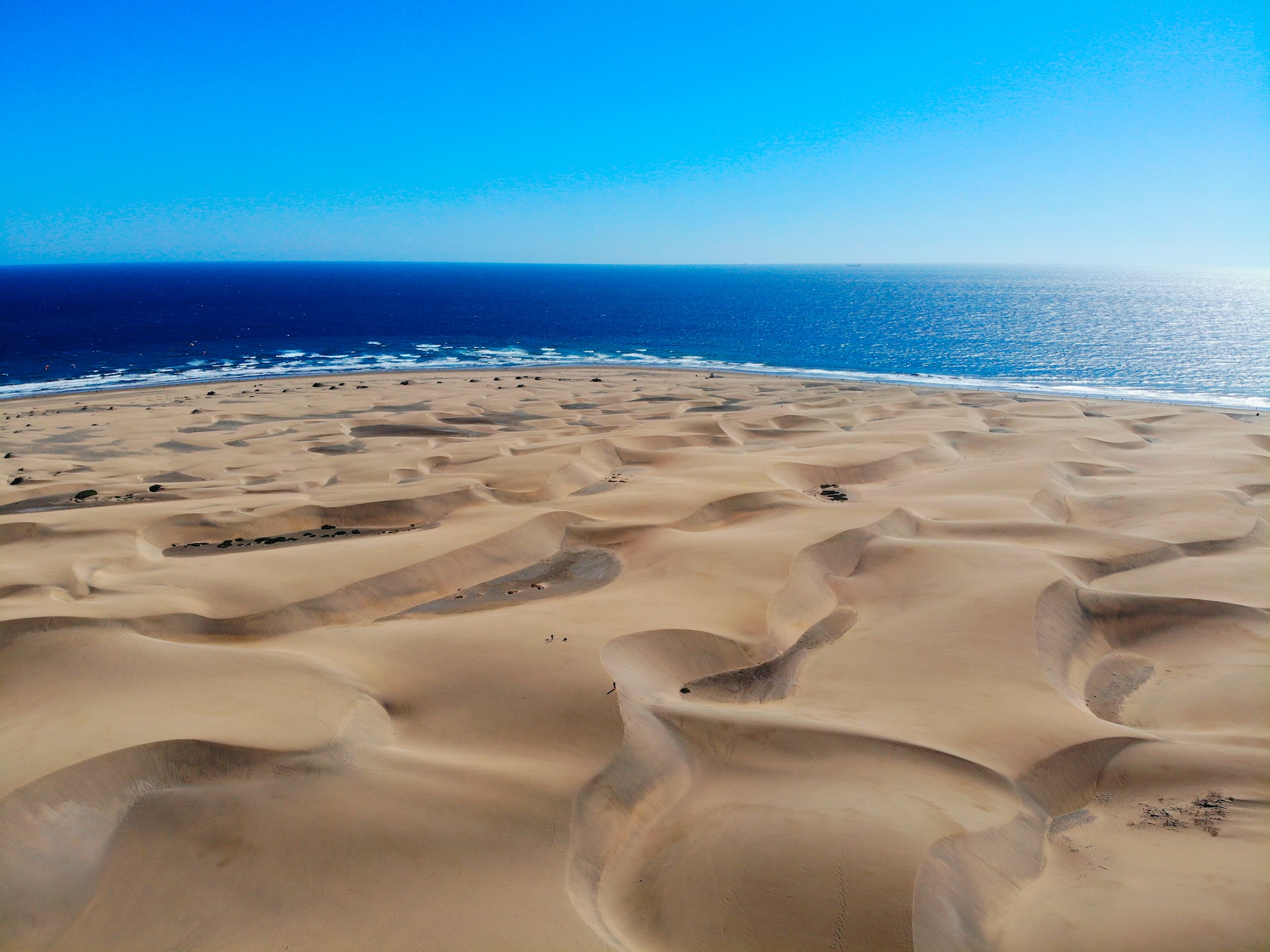
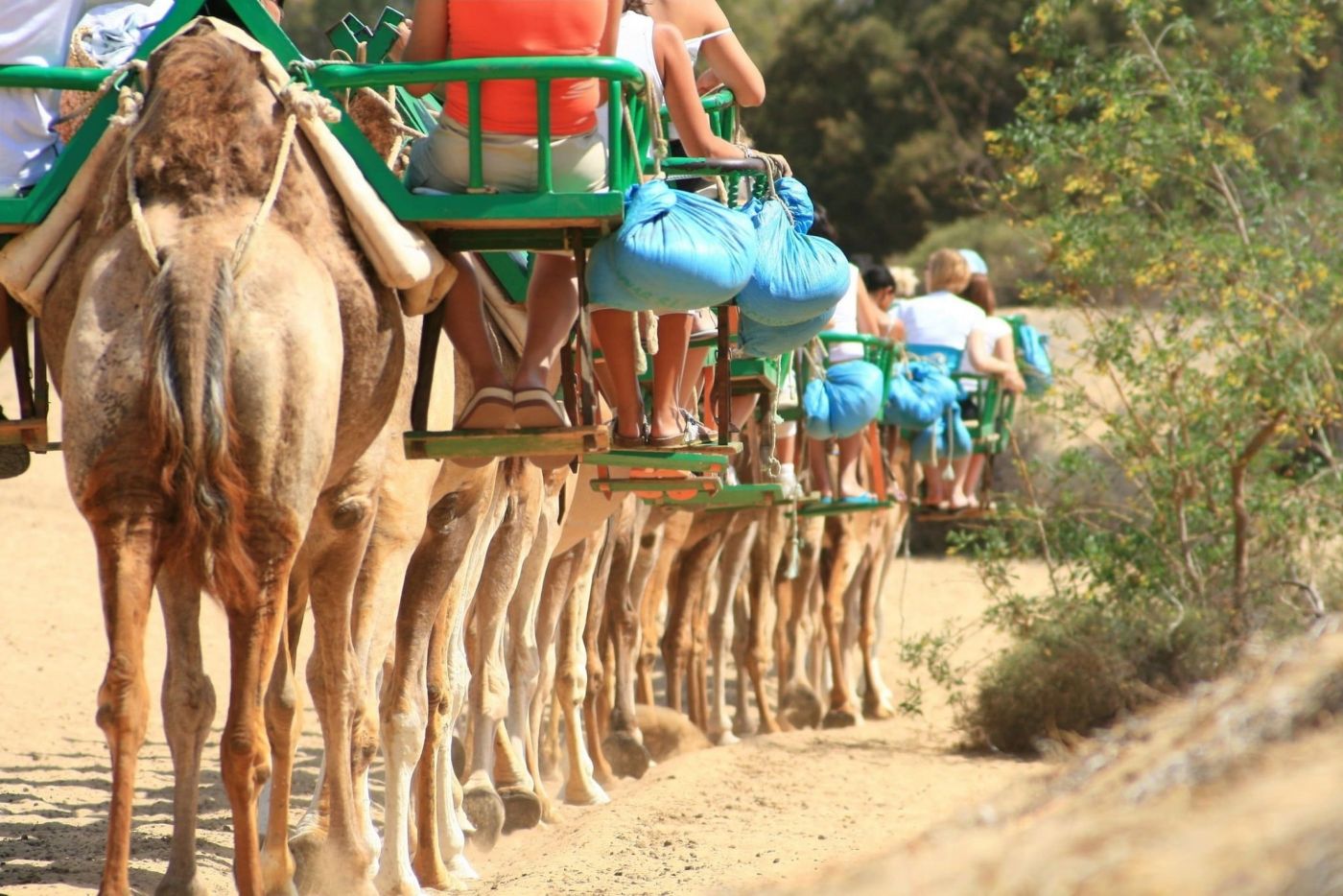
The dunes are a Special Nature Reserve: walk only on the marked trails (leaving them is forbidden) and go early, before the sun gets fierce. Next to the lighthouse, built in 1890, is the Charca de Maspalomas, a brackish lagoon with birdlife. If you fancy seeing the dunes another way, there are camel rides.
-
Amadores and Puerto Rico
Calm beaches with sand and facilities. Most boat trips in the south leave from here and from Arguineguín; it’s a good spot for a quick swim before moving on.
-
Puerto de Mogán
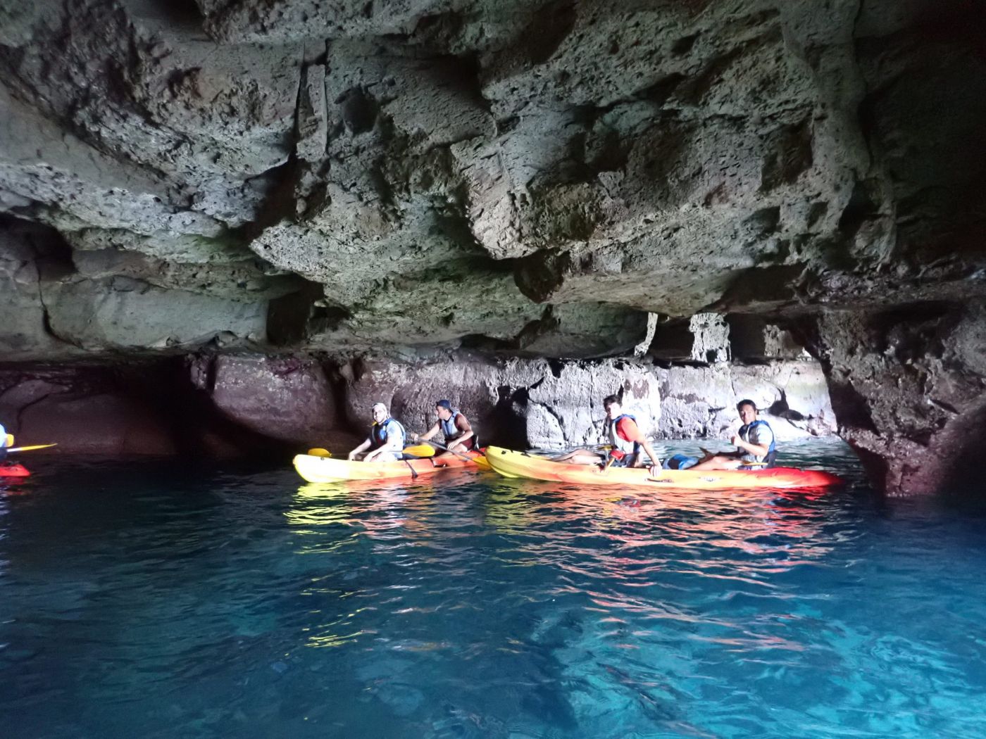
Canals, bridges and white houses covered in bougainvillea: hence its nickname, “Little Venice”. On Fridays there is a market and the village gets packed; on other days it is quiet first thing in the morning. The cliffs between Mogán and Medio Almud are among the best on the island for coasteering and kayaking.
-
Los Azulejos de Veneguera
Climbing the GC-200 towards La Aldea, the slopes turn green, ochre, red and blue. These are volcanic rocks altered by hot fluids (hydrothermal alteration). For photos, stop only in the lay-bys and never on a bend.
-
La Aldea de San Nicolás
A farming valley full of tomato greenhouses, hemmed in by mountains. Head down to the pebble beach of La Aldea for sunset and take a look at El Charco, the lagoon where every 11 September the whole village jumps into the water to catch fish by hand during the Fiesta del Charco.
Things to do on this route
Activities starting in Maspalomas and Mogán.
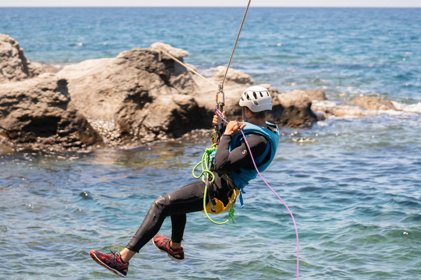
Coasteering on the cliffs of Mogán
Four hours of coasteering on Mogán’s cliffs: sea via ferrata, optional jumps, snorkelling and a…
Kayak through sea caves in Gran Canaria
Sea-cave kayaking on Gran Canaria’s coast: paddle, explore and snorkel. About 5 hours, suitable for…
Explore the dunes of Maspalomas on a camel trek
Discover the natural beauty of Gran Canaria on an exciting camel trek through the Maspalomas dunes.…
Route 4. Tejeda, Roque Nublo and the summit
The essential route. The centre of the island is a huge eroded caldera where Roque Nublo and Roque Bentayga rise, and it is part of the Risco Caído and the Sacred Mountains of Gran Canaria cultural landscape, a UNESCO World Heritage Site since 2019.
- Distance
- ≈ 50 km from Maspalomas or Las Palmas
- Driving
- ≈ 1 h 15 min up
- With stops
- Full day
- Altitude
- Up to 1,949 m (Pico de las Nieves)
-
Up through the Fataga ravine
Coming from the south, take the GC-60: palm groves, the village of Fataga and the Degollada de las Yeguas viewpoint over the ravine. From Las Palmas, the natural way up is the GC-15 via Santa Brígida and San Mateo.
-
Roque Nublo
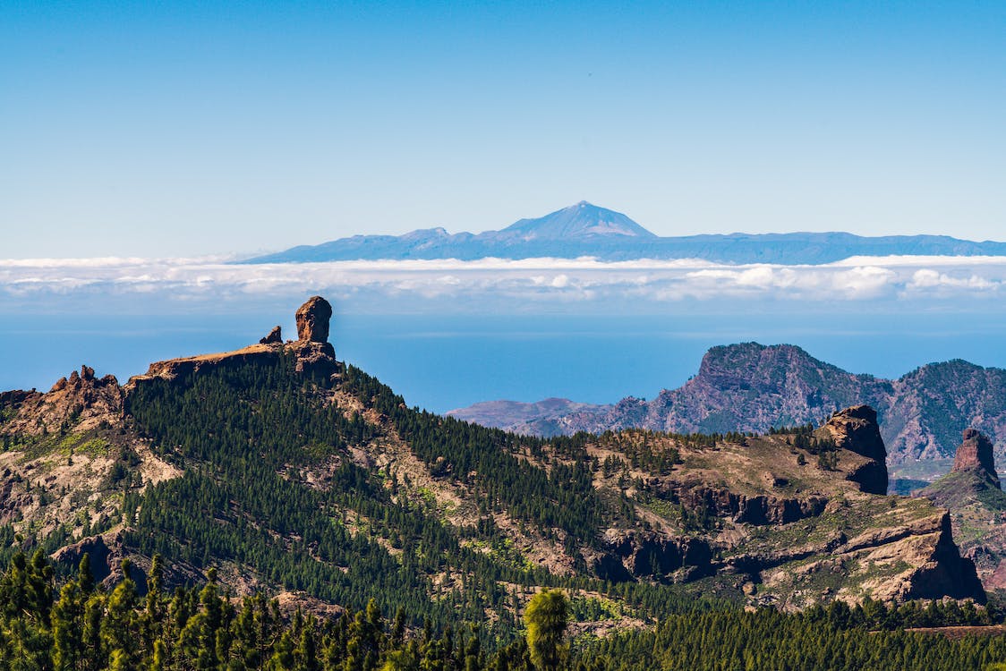
The monolith is about 80 metres tall and its base sits at 1,813 metres; the island’s first inhabitants considered it sacred. The trail from the Degollada de La Goleta is short (about 30–45 minutes up) and on clear days you can see Mount Teide. Access has changed: read the box below before you go.
-
Tejeda
Listed among the “Most Beautiful Villages in Spain” and perched over the caldera. Try the almond sweets (bienmesabe, marzipan) and, if you are curious, visit the Abraham Cárdenes sculpture museum or the medicinal plants centre. Between late January and February the almond trees blossom and the village holds the Almond Blossom Festival.
-
Cruz de Tejeda and Pico de las Nieves
Cruz de Tejeda is the crossroads of the summit, with fruit and sweet stalls and views of both rocks. About 20 minutes away is Pico de las Nieves, the island’s highest point, with a viewpoint and old snow pits.
-
Roque Bentayga and Artenara
Bentayga was an almogarén, a pre-Hispanic sanctuary; its visitor centre explains the caves, granaries and engravings of the area. Carry on to Artenara, the island’s highest municipality, with cave houses and the viewpoint where the writer Unamuno described this landscape as a “petrified storm”.
Things to do at the summit
Route 5. Telde, Bandama and Santa Brígida
A short, varied route through the east and the midlands: Telde’s heritage, the island’s most spectacular crater and its wine country. Perfect for a morning or an afternoon if you are staying in Las Palmas.
- Distance
- ≈ 50 km (loop)
- Driving
- ≈ 1 h 15 min
- With stops
- Half day
- Best for
- Volcanoes, wine and markets
-
Telde
Telde was the capital of the other pre-Hispanic kingdom. In the San Juan quarter, the basilica holds a 16th-century Flemish altarpiece; the León y Castillo house-museum is close by. On the outskirts, Cuatro Puertas is a large man-made cave with four entrances used by the island’s first inhabitants.
-
Bandama crater and peak
A crater almost a kilometre across and about 200 metres deep, formed by explosions when magma met groundwater. The Bandama complex produced the most recent eruption on Gran Canaria, around 2,000 years ago. Drive up Pico de Bandama for the view from above or hike down to the bottom (the way back is uphill). Next door is the Real Club de Golf de Las Palmas, the oldest golf club in Spain (1891).
-
Santa Brígida and Vega de San Mateo
Vineyard country within the Gran Canaria wine appellation. Santa Brígida is home to the Casa del Vino, and in La Atalaya the pottery centre still makes ceramics without a wheel, as in pre-Hispanic times. At weekends, stop by the farmers’ market in Vega de San Mateo.
For adrenaline seekers
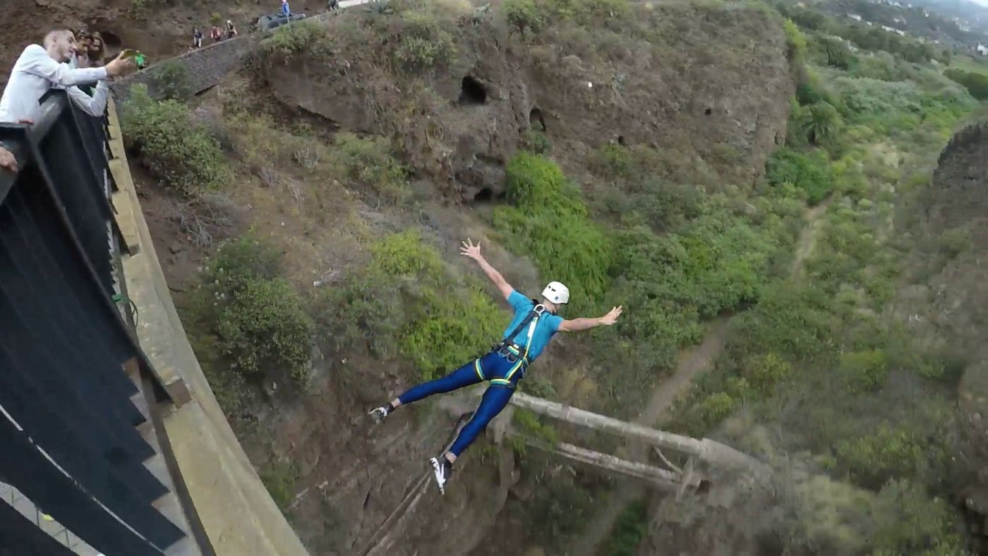
The La Calzada bridge is five minutes from Santa Brígida.
Which route to choose
- Staying in the south: routes 3 and 4. The summit is just over an hour away via Fataga.
- Staying in Las Palmas: routes 1, 2 and 5, plus route 4 going up the GC-15.
- Travelling with children: route 3 (beaches and dunes) and route 5, which involves little driving.
- Only one day: cross the island from south to north. Maspalomas → Fataga → Roque Nublo → Tejeda → Cruz de Tejeda → Teror → Las Palmas, then back south on the GC-1. It’s about 170 km, so start early.
Drive responsibly
- Park only in designated areas. A car on the verge at a viewpoint blocks the road for buses and cyclists.
- Don’t take stones, sand or plants: in protected areas it is forbidden and fined.
- In nature areas, stay on the marked trails.
- The pine forest burns easily in summer: no cigarette ends out of the window and no barbecues outside designated areas.
- In an emergency, accident or fire, call 112.
Things to do on the island
Experiences in Gran Canaria
Plans on the island, with duration and price up front.
See all 19 experiences in Gran Canaria